Intelligence
is Not
Artificial
Visionland delivers precision boundary surveys, ALTA reports, topographic mapping, and construction layout — with the expertise your property deserves.


Precision Topographic Survey
GPS-assisted aerial mapping

State Licensed
Legally valid surveys
Clear Reports
Easy to understand

GPS + Drones
Modern technology

Fast Turnaround
Rush options available
Comprehensive Land Surveying Solutions
Click any service card to learn more. Accurate, legally-valid surveys tailored to your specific project needs.
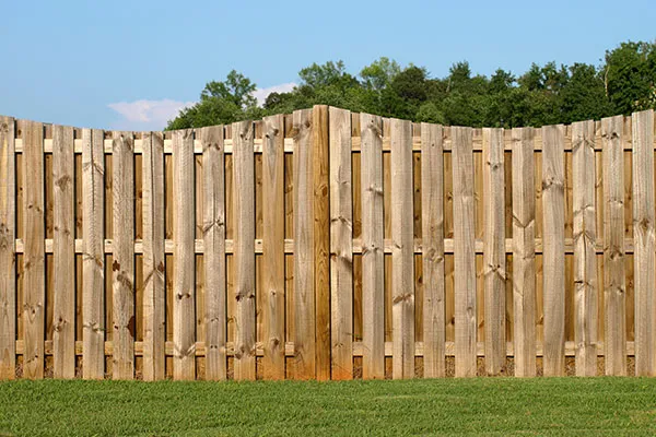
Boundary Surveys
Formal identification and establishment of property boundary corners to protect your real estate investment.
Learn More
Drone Surveys
Drone Surveys offer high-precision aerial mapping and data collection, significantly reducing time spent in the field.
Learn More
ALTA Surveys
Comprehensive survey meeting ALTA/NSPS standards, essential for commercial real estate transactions.
Learn More
As-Built Surveys
Post-construction verification mapping to confirm structures and improvements match the original design.
Learn More
Condominium Survey
Detailed mapping specifically designed for the creation and management of condominium associations.
Learn More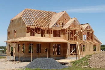
Construction Layout
Accurate physical staking and layout of construction plans on the actual job site.
Learn More
Control Survey
Establishing a highly accurate network of physical points for subsequent detailed surveying.
Learn More
Elevation Certificates
Official documentation of a structure’s elevation relative to FEMA flood risk data.
Learn More
Final Survey
The conclusive survey conducted at project completion to secure a Certificate of Occupancy.
Learn More
Flood Zone Determination
Expert analysis determining a property's exact risk level regarding established flood plains.
Learn More
Hydrographic Survey
Detailed mapping of underwater topography and features for marine construction and dredging.
Learn More
Mean High Water Survey
Establishing the legal boundary between sovereign state waters and private upland property.
Learn More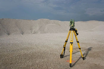
Quantity Survey
Accurately measuring the volume of earthworks or materials for cost management and billing.
Learn More
Specific Purpose Survey
Custom-tailored surveying solutions designed to address unique, non-standard project requirements.
Learn More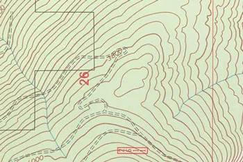
Topographic Survey
Mapping the exact three-dimensional contours and physical features of a piece of land.
Learn More
Subdivision Planning and Platting
The complex process of dividing large tracts of land into smaller, legally sellable parcels or lots.
Learn MoreSimple Process
How Your Survey Gets Done
Submit Order
Fill out our order form with property info and survey type needed.
We Contact You
We confirm details and provide a transparent quote within 1 hour.
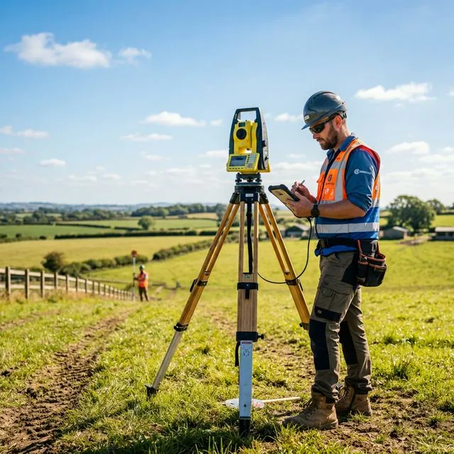
Field Survey
Licensed surveyors with GPS and drone equipment deployed to your property.
Receive Report
Professional CAD, PDF, and GIS deliverables — ready on schedule.
What Matters When Choosing a Surveyor
Choosing the right land survey company isn't just about price — it directly affects legal boundaries, construction accuracy, and future property disputes. Here's what sets us apart.
Proper Licensing & Credentials
State-licensed professional surveyors ensuring legally valid work that meets all standards — protecting you if issues arise.
Experience With Your Project Type
Residential, commercial, construction staking — specific expertise across every survey type for faster, more accurate results.
Modern Technology & Equipment
GPS/GNSS, drones, and 3D laser scanning deliver more precise results and quicker turnaround than traditional methods.
Fast Turnaround Times
Surveying is often on the critical path of your project. Rush options available — no delays to permits or closings.
Clear Pricing & Scope
Detailed quotes specifying what's included and any potential extra costs. No vague estimates, no surprises at closing.
Communication & Responsiveness
We explain the process clearly, answer questions quickly, and deliver easy-to-understand reports throughout your project.
Local Regulation Knowledge
Deep familiarity with local zoning laws, property records, and permitting requirements saves time and prevents compliance issues.
Insurance Coverage
Full liability insurance and errors & omissions coverage — protecting you completely if anything doesn't go to plan.
Professional Deliverables
Survey maps, CAD/PDF files, and marked property corners — professional documentation essential for legal and construction use.
Precision as an Art Form
Combining the depth of historical knowledge with the power of modern spatial technology.
National Network, Local Expertise
With a national network of surveyors at our disposal, Vision Land Service can get you a quality survey where you need it, when you need it, and at a competitive price.
We specialize in large multi-site transactions while maintaining the flexibility for single-site excellence.
Start Your Project
We respond to all requests within 1 hour during business hours. Secure, transparent estimates without the wait.
MAITLAND FLORIDA 32794