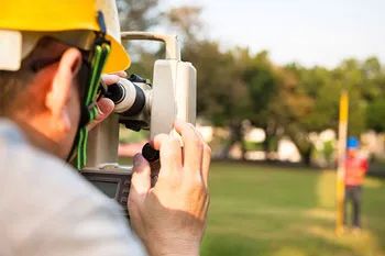
LandSurveying Professional Services
Accuracy and reliability in every measurement. Our licensed surveyors provide comprehensive data for residential, commercial, and construction projects.
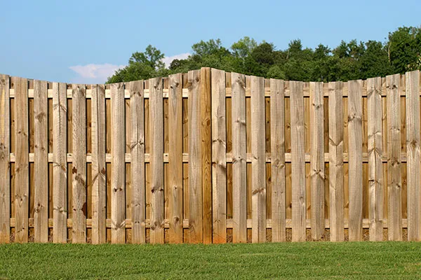
Boundary Surveys
Formal identification and establishment of property boundary corners to protect your real estate investment.

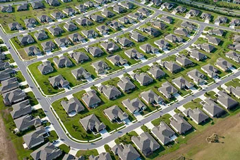
Drone Surveys
Drone Surveys offer high-precision aerial mapping and data collection, significantly reducing time spent in the field.
ALTA Surveys
Comprehensive survey meeting ALTA/NSPS standards, essential for commercial real estate transactions.
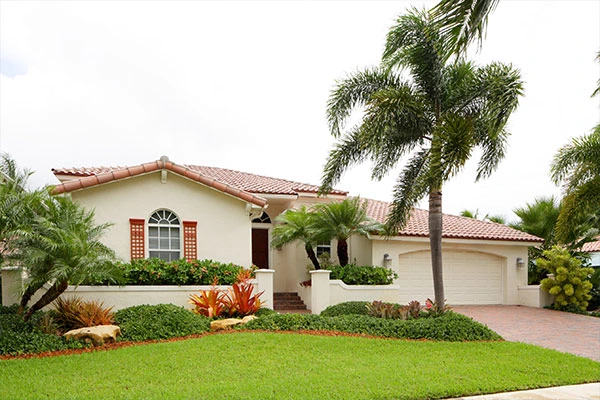
As-Built Surveys
Post-construction verification mapping to confirm structures and improvements match the original design.
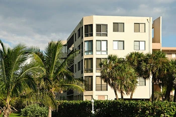
Condominium Survey
Detailed mapping specifically designed for the creation and management of condominium associations.
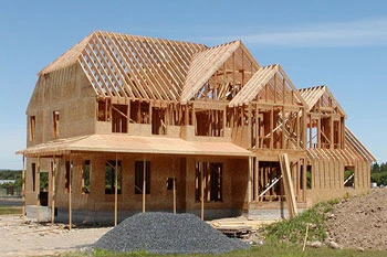
Construction Layout
Accurate physical staking and layout of construction plans on the actual job site.
Control Survey
Establishing a highly accurate network of physical points for subsequent detailed surveying.

Elevation Certificates
Official documentation of a structure’s elevation relative to FEMA flood risk data.
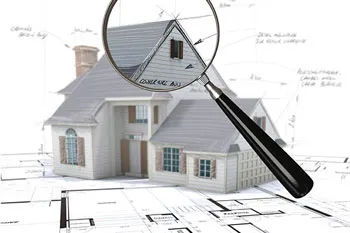
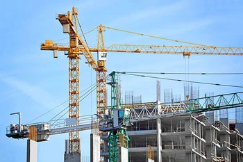
Final Survey
The conclusive survey conducted at project completion to secure a Certificate of Occupancy.
Flood Zone Determination
Expert analysis determining a property's exact risk level regarding established flood plains.
Hydrographic Survey
Detailed mapping of underwater topography and features for marine construction and dredging.
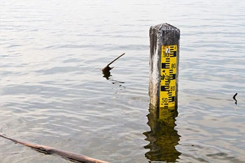
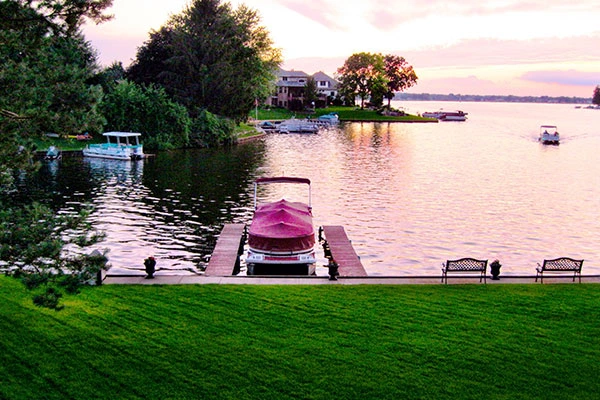
Mean High Water Survey
Establishing the legal boundary between sovereign state waters and private upland property.
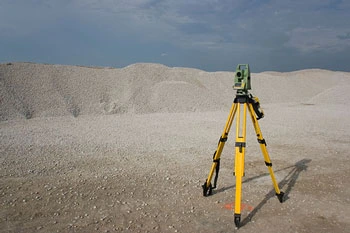
Quantity Survey
Accurately measuring the volume of earthworks or materials for cost management and billing.

Specific Purpose Survey
Custom-tailored surveying solutions designed to address unique, non-standard project requirements.
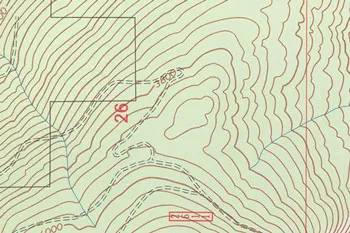
Topographic Survey
Mapping the exact three-dimensional contours and physical features of a piece of land.
Subdivision Planning and Platting
The complex process of dividing large tracts of land into smaller, legally sellable parcels or lots.
Start Your Project
We respond to all requests within 1 hour during business hours. Secure, transparent estimates without the wait.
MAITLAND FLORIDA 32794