About our Hydrographic Survey Excellence
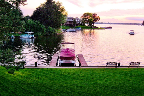
Using sonar and advanced GPS, hydrographic surveys map the contours of riverbeds, lakes, and oceans. This data is critical for safe navigation, harbor dredging, bridge construction, and environmental monitoring of aquatic ecosystems.
The Visionland Process
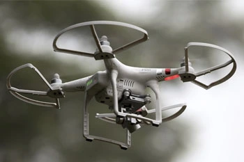
Vessel mobilization with sonar arrays
We deploy specialized survey boats equipped with multi-beam or single-beam sonar for underwater mapping.
Grid-pattern data collection over water
The boat traverses the water body in a precise grid to ensure 100% coverage of the bottom topography.
Tidal and sound-velocity corrections
Raw sonar data is adjusted for water temperature, salinity, and tide levels to ensure absolute vertical accuracy.
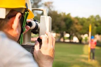
Generation of bathymetric contour maps
Detailed underwater maps are produced, showing depths and features for marine engineering or dredging.
Need a Hydrographic Survey for your project?
Ready to provide the precision data your project needs. We respond to all requests within 1 hour.
Order Your SurveyCall Support
Available Mon-Fri
Start Your Project
We respond to all requests within 1 hour during business hours. Secure, transparent estimates without the wait.
MAITLAND FLORIDA 32794