
About our Control Survey Excellence
A control survey provides the precise framework upon which all other surveys, construction designs, or GIS mappings cover. Utilizing advanced static GPS and highly accurate optical levels, we establish reliable baseline coordinates and elevations.
The Visionland Process
Reconnaissance and network planning
We identify the best locations for control monuments to ensure maximum stability and visibility across the project site.
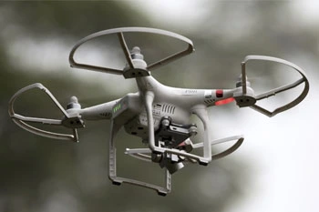
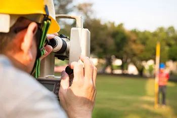
Static GPS and optical observations
Using specialized long-duration GPS sessions and high-precision levels, we establish rock-solid reference data.
Rigorous data adjustment and calculation
Advanced mathematical processing ensures all measurements are perfectly synchronized with national coordinate systems.
Monumentation and report delivery
Permanent markers are installed on-site, accompanied by a detailed report of the precise coordinates and elevations.
Need a Control Survey for your project?
Ready to provide the precision data your project needs. We respond to all requests within 1 hour.
Order Your SurveyCall Support
Available Mon-Fri
Start Your Project
We respond to all requests within 1 hour during business hours. Secure, transparent estimates without the wait.
MAITLAND FLORIDA 32794